Geographic Information Systems
Geographic Information Systems
Geographic Information Systems (GIS) is “a system for capturing, storing, checking, integrating, manipulating, analysing and displaying data which are spatially referenced to the Earth. GIS enables us to visualize and manipulate large amounts of data, especially data with a spatial component. This process involves a spatially referenced computer database and appropriate applications software.CEG offers a full range of Geospatial Services to its clients worldwide. GIS Services ensure accurate spatial data and provide cost-effective tool to analyze data, for Forestry, Vegetation, Population, Weather, Land Use, Mining, and Geology etc, which is important and helps in planning, designing development and implementation of mapping projects for various industry segments.Our goal is to ensure clients to get the highest possible level of quality and service, at a rate well below what they would pay for in-house or domestic services.

CEG offers specialized Geospatial (GIS) Services in following areas
- Aerial Mapping
- Parcel Mapping
- 2D Building Digitization
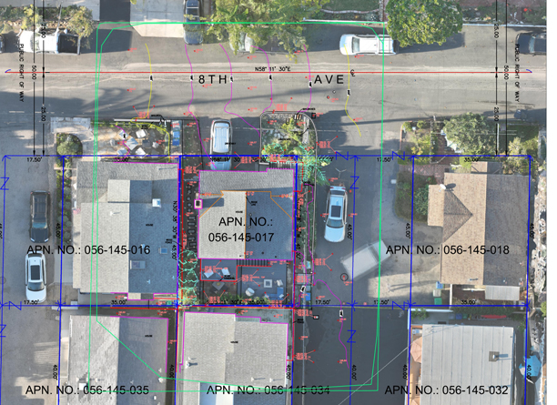
- Cadastral Mapping
- Fire and Emergency Mapping
- Transportation Mapping
- Contour Mapping (DEM & DSM)
- GIS Data Management-Mapping
- Landscapes and soil resources assessment
- Land Use/Cover Mapping
- Topographic Mapping
- Floodplain Mapping
- Utility Network Mapping
- GPS Golf Course Mapping
- Urban Planning-Mapping
- Thematic Mapping
- Planimetric Mapping
- Automated Mapping/Facilities Management

Our Mission and Vision
We are unified in our mission to by matching our agenda with our clients' conception and magnitude.
We can deliver hard-hitting and long-lasting results with our personnel's diverse skill sets and relentless quest for perfection.
Quick Contact
Have questions? Drop us message and we'll get back to you as soon as possible.
contact us