Geographical Information System (GIS)
Geographical Information System (GIS)
Geographic Information Systems (GIS) is “a system for capturing, storing, checking, integrating, manipulating, analysing and displaying data which are spatially referenced to the Earth. GIS enables us to visualize and manipulate large amounts of data, especially data with a spatial component. This process involves a spatially referenced computer database and appropriate applications software.
Project information-
- Category: Geographical Information Systems
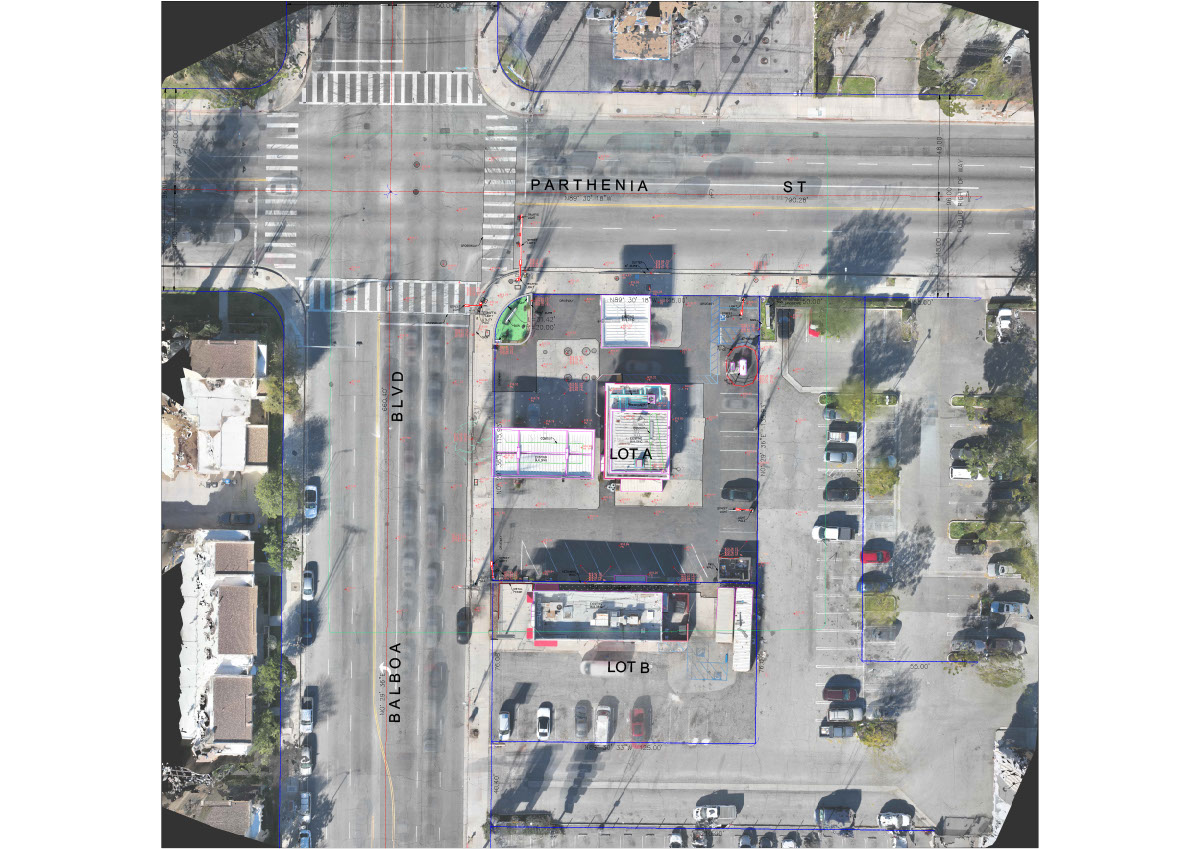
- Sub Category: Utility Capturing & Image Processing © Complete Engineering Gen Pvt. Ltd.

.jpg)


Our Mission and Vision
We are unified in our mission to by matching our agenda with our clients' conception and magnitude.
We can deliver hard-hitting and long-lasting results with our personnel's diverse skill sets and relentless quest for perfection.
Quick Contact
Have questions? Drop us message and we'll get back to you as soon as possible.
contact us